
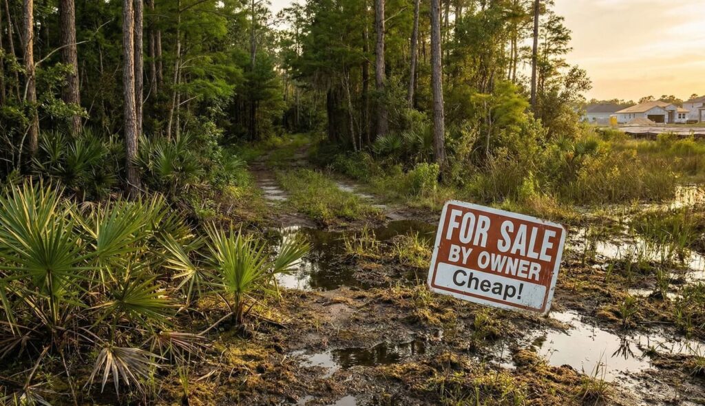
Florida land parcels are frequently marketed based on affordability, geographic appeal, and long-term growth potential. However, acquisition of lower-cost parcels requires careful evaluation of physical, regulatory, and infrastructure-related factors that may affect development feasibility, holding timelines, and total project cost.
Market participants engaged in land acquisition for investment, development, or operational use typically conduct independent due diligence to assess whether a parcel aligns with their intended use strategy.
The following sections outline common risk considerations identified in Florida land transactions and methods commonly used to evaluate them.
1. Wetland and Flood Zone Designations
Parcels located within wetland areas or designated flood zones may involve additional regulatory requirements that can affect development planning.
Potential requirements may include:
- Federal and state permitting
- Environmental mitigation measures
- Engineering and site modification costs
Common evaluation methods:
- Review of National Wetlands Inventory data
- County GIS mapping layers
- Flood zone classification review
The extent of environmentally sensitive areas within a parcel can influence usable land area and development planning considerations.
2. Legal Access and Physical Access Conditions
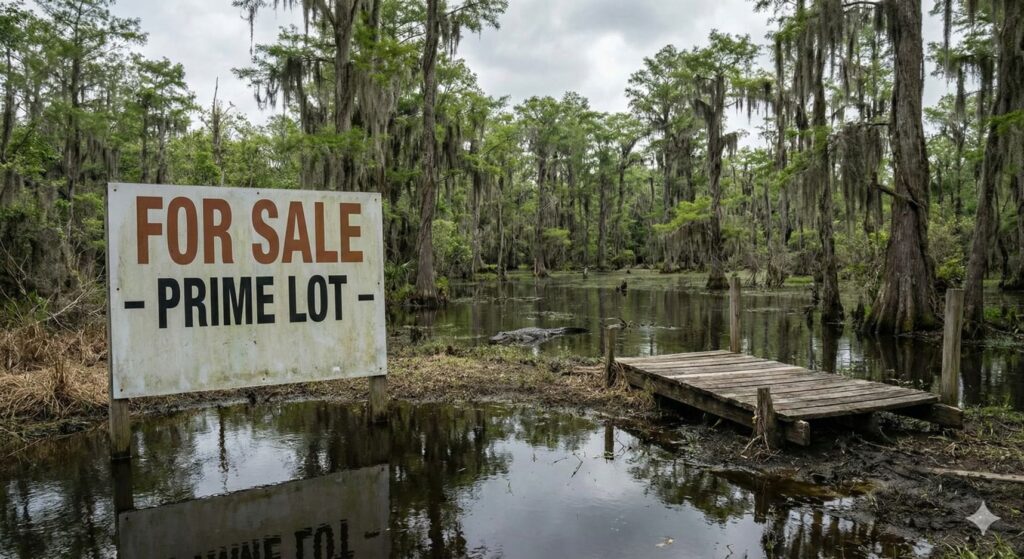
Recorded legal access does not always correspond to developed or maintained roadway infrastructure.
Risk considerations include:
- Unimproved or unmaintained access routes
- Responsibility for road clearing or grading
- Accessibility for construction equipment
Common evaluation methods:
- Title and easement verification
- Physical site inspection where feasible
- Historical aerial imagery review
Access conditions may influence both development feasibility and cost assumptions.
3. Setbacks, Buffers, and Buildable Area Constraints
Local zoning and environmental regulations establish minimum setback and buffer requirements that define the usable portion of a parcel.
Factors that may affect buildable area:
- Proximity to water bodies
- Conservation areas
- Road frontage setbacks
Common evaluation methods:
- Zoning code review
- Parcel-specific development standards
- Identification of buildable envelope
Smaller parcels may be more sensitive to these constraints depending on regulatory requirements.
4. Infrastructure and Development Cost Considerations
The initial land acquisition cost may represent only a portion of total project investment.
Common cost components include:
- Impact fees assessed by local jurisdictions
- Utility extension costs
- On-site systems such as septic or well installation
Evaluation steps often include:
- Reviewing local impact fee schedules
- Identifying proximity to existing utility infrastructure
- Conducting soil testing for septic feasibility
Infrastructure availability can significantly influence total development cost and project timelines.
5. Documentation and Data Transparency
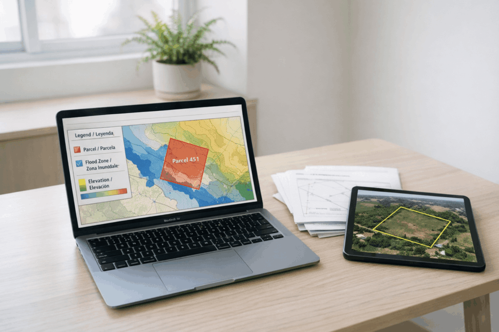
Availability of verifiable documentation can support more efficient due diligence and risk assessment.
Relevant documentation may include:
- GIS data and mapping overlays
- Elevation and flood information
- Title and access records
Market participants often prioritize parcels where key property data is accessible and can be independently verified.
Conclusion
Land By Owner is positioned to support informed land evaluation by providing direct access to property listings without intermediary brokerage structures. The platform emphasizes transparency in pricing and encourages the inclusion of property-level data that may assist in independent analysis.
Market participants using the platform typically apply their own acquisition criteria, conduct third-party verification, and assess each opportunity in alignment with their intended use and operational objectives.
The platform does not provide investment, legal, or development guidance. All acquisition decisions remain the responsibility of the buyer, and independent due diligence is expected as part of a standard land evaluation process.